
Geophysical Survey
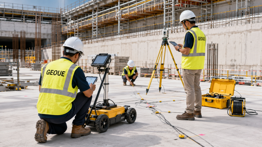
Geophysical survey solutions in Singapore for infrastructure, construction and site investigation. GEOUE combines field geophysics, engineering interpretation and clear reporting to help identify subsurface conditions, utilities and ground risks before critical works begin.
Engineering Geophysics · Singapore
Geophysical Survey Singapore
Geophysical survey solutions in Singapore for infrastructure, construction and site investigation. GEOUE combines field geophysics, engineering interpretation and clear reporting to help identify subsurface conditions, utilities and ground risks before critical works begin.
Subsurface Intelligence
See more below ground before construction begins.
Geophysical surveys provide non-invasive and minimally intrusive methods for investigating subsurface conditions. For construction and infrastructure projects in Singapore, engineering geophysics can complement conventional soil investigation by helping project teams evaluate geological variability, buried features, underground utilities, possible voids and other subsurface conditions across a wider area.
Subsurface Investigation
Support preliminary assessment of ground conditions before excavation, foundation, tunnelling or other construction activities.
Utility & Feature Detection
Assist in identifying buried utilities, structures, interfaces and anomalous subsurface features where suitable geophysical methods can be applied.
Engineering Interpretation
Convert field measurements into engineering-focused interpretation that can support planning, risk review and subsequent investigation.
Survey Methods
Geophysical methods selected around the engineering question.
No single geophysical technique is suitable for every ground condition or project objective. Survey methodology should be selected according to expected geology, investigation depth, target size, site access, surface conditions and the required engineering output.
Ground Penetrating Radar (GPR)
GPR survey can support detection and mapping of shallow buried services, structural features and interfaces where ground conditions are suitable for radar penetration.
Electrical Resistivity Survey
Electrical resistivity methods can investigate variations in subsurface electrical properties and may assist assessment of geological boundaries, weathering, groundwater-related conditions and anomalous zones.
Seismic Refraction
Seismic refraction surveys use the propagation of seismic waves to support interpretation of subsurface velocity layers, depth to stronger material and changes in ground conditions.
MASW & Surface Wave Methods
Multichannel Analysis of Surface Waves can be used to develop shear-wave velocity profiles and support characterization of near-surface ground stiffness.
Survey methods and achievable investigation depth depend on project objectives, site constraints and actual ground conditions. A project-specific methodology should be developed before field deployment.
Singapore Applications
Built for construction and infrastructure decisions.
Deep Excavation
Additional subsurface information for excavation planning, ERSS-related assessment and investigation of ground variability around proposed works.
Transport Infrastructure
Geophysical investigation for rail, road, station, tunnel and other transport infrastructure environments.
Building Development
Support redevelopment, foundation planning, existing structure assessment and investigation near adjacent buildings.
Underground Utilities
Non-destructive investigation to supplement available records and support safer planning around buried services and subsurface assets.
Site Investigation
Complement boreholes, sampling and laboratory testing by extending interpretation between conventional investigation points.
Ground Risk Assessment
Target potential anomalous areas for further investigation before critical excavation, drilling or foundation activities.
Integrated Investigation
Geophysics works best when integrated with engineering geology and soil investigation.
Geophysical measurements are indirect observations of subsurface physical properties. The strongest engineering interpretation is therefore normally achieved by correlating geophysical results with available borehole logs, geological information, trial pits, utility records, monitoring data and other site investigation results.
- Borehole and geological data correlation
- Geophysical profile and anomaly interpretation
- Targeted follow-up investigation recommendations
- Integration with geotechnical site investigation
- Engineering-focused drawings and survey outputs
- Technical reporting for project teams and consultants
Deliverables
From field measurements to usable engineering information.
Survey Data
Structured field records, survey locations and geophysical measurements collected using the selected investigation methodology.
Interpretation
Processing and engineering interpretation of relevant anomalies, profiles, interfaces and subsurface trends.
Technical Reporting
Clear survey methodology, findings, limitations, interpreted outputs and recommendations for subsequent engineering assessment where appropriate.
How We Work
A survey workflow built around the project objective.
Why GEOUE
Geophysics interpreted for engineering, not just mapped.
GEOUE approaches geophysical survey work as part of a broader geotechnical engineering workflow. The objective is not simply to produce colourful profiles, but to provide project teams with technically relevant information that can support investigation planning, construction risk management and engineering decisions.
Engineering Focus
Survey objectives and interpretation are tied directly to the construction or geotechnical problem.
Integrated Capability
Geophysics can be coordinated with soil investigation, instrumentation, monitoring and engineering review.
Singapore Experience
GEOUE’s technical leadership brings prior professional experience from major infrastructure and construction environments in Singapore.
Frequently Asked Questions
Geophysical Survey Singapore — FAQs
What is a geophysical survey used for in construction?
A geophysical survey can provide additional information about subsurface conditions without relying solely on intrusive investigation. Depending on the selected method, it may assist with mapping ground variability, geological interfaces, buried services, anomalous zones or other features relevant to construction planning.
Can geophysical surveys replace boreholes?
Usually not. Geophysical methods provide indirect measurements and are generally most effective when used together with boreholes, trial pits, geological records and other direct investigation data.
Which geophysical survey method should be used?
The appropriate method depends on the target, required investigation depth, expected geology, surface conditions, access restrictions and required resolution. GPR, seismic methods, electrical resistivity and surface-wave methods each respond to different subsurface properties.
Can GPR be used for utility detection in Singapore?
GPR can be useful for locating shallow buried features and utilities where site and ground conditions are suitable. Detection performance varies with soil conductivity, depth, target material, surface conditions and surrounding interference, so it should not be treated as an infallible standalone method.
What information is included in a geophysical survey report?
A typical report may include the survey objective, methodology, equipment and survey configuration, location information, processed results, interpreted profiles or plans, identified anomalies, limitations and recommendations for further investigation where appropriate.
Planning a geophysical survey in Singapore?
Send us your project location, drawings and investigation objectives. GEOUE can review the requirements and propose a practical survey approach for your project.
Discuss Your ProjectGEOUE Engineering Services
Explore Related Geotechnical & Monitoring Services
Explore GEOUE services for geotechnical instrumentation, construction monitoring, site investigation, geophysical surveying and engineering consultancy across Singapore.
Our Engineering Services
End-to-end instrumentation and monitoring solutions for safe, efficient and data-driven projects.
Instrumentation & Monitoring
Design. supply and installation of geo / structural instruments.
Soil Investigation
In-situ and lab testing
to assess ground conditions.
Geophysical Survey
Advanced geophysical methods
for underground mapping.

Geotechnical Consultancy
Technical advisory and design support for geotechnical works.

Survey
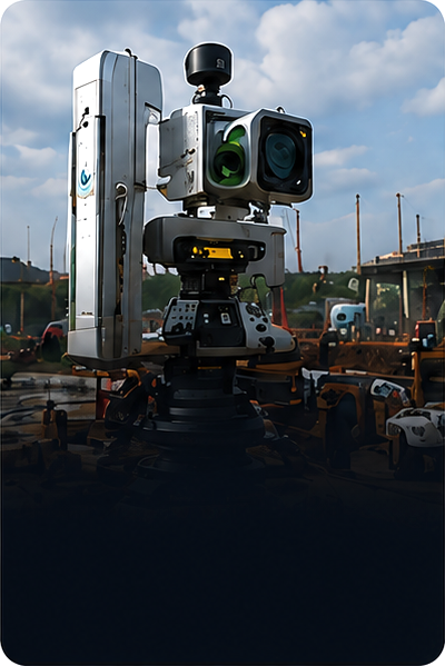
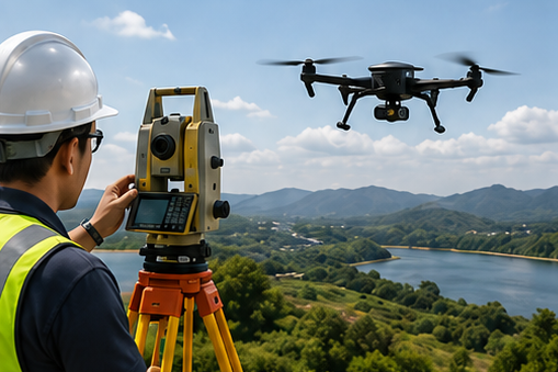
Precision surveying using total stations, GNSS, LiDAR and drones.
Structural Monitoring
Real-time monitoring of structures for performance and safety assurance.
Installation
Professional installation by experienced teams with strict quality control.

Maintenance
Routine maintenance, and data validation for long-term performance.
Singapore Project Experience
The GEOUE team members have participated in a wide range of geotechnical instrumentation and monitoring projects across Singapore, including transportation infrastructure, deep excavation, underground construction and private developments.

MRT & Rail Projects
Instrumentation and monitoring works for MRT lines and rail infrastructure.

Deep Excavation
Monitoring of deep basements and retaining structures in dense urban areas.
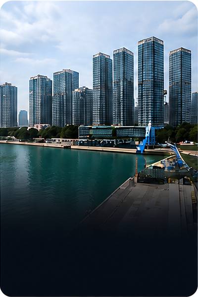
Building & Development
Monitoring solutions for high-rise, mixed-use and residential developments.
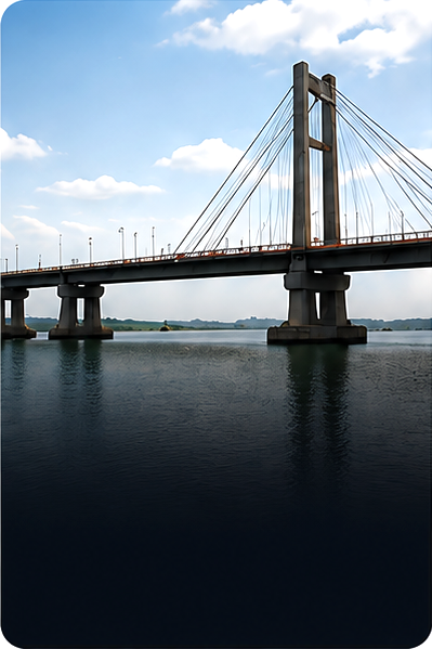
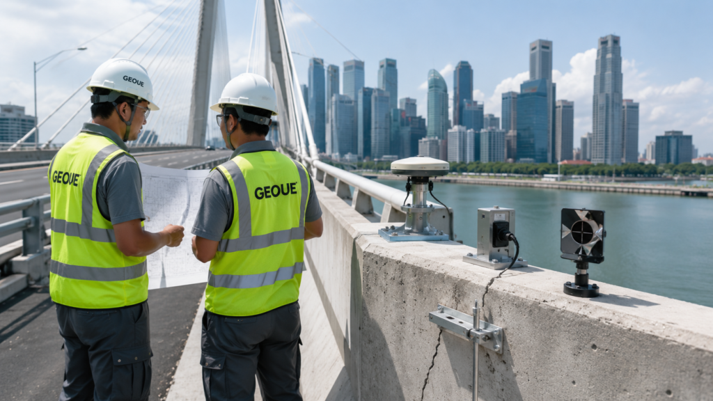
Bridges & Structures
Structural health and performance monitoring for bridges and infrastructure.
Industrial & Utilities
Instrumentation and Monitoring for utilities, tunnels, pipelines and industrial facilities.
Our Approach

Understand
We study your site and project requirements.

Monitor
We monitor, analyze and
provide actionable insights.

Design
We design the right
solution for your needs.

Partner
We partner with you to
ensure long-term success.

Deliver
We install and commission
with precision.

Support
We maintain and support
for the long term.
Our Core Services
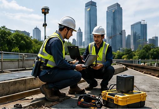
Instrumentation & Monitoring
Real-time data acquisition and monitoring for geotechnical and structural applications.
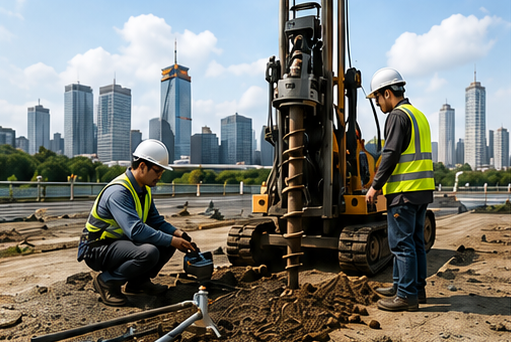
Soil Investigation
In-situ tests, sampling and laboratory analysis to evaluate subsurface conditions.
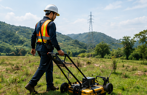
Geophysical Survey
Advanced geophysical methods to map subsurface conditions non-destructively.
Geotechnical Consultancy
Design optimization and risk-based advice for safe and cost-effective solutions.

Monitoring Data Analysis
Trend Review
Alert Assessment
Interpretation
Technical Review
Third-party Review
QA/QC
Independent Assessment
Get In Touch
Let’s Work Together on Your Next Project
We deliver engineering solutions that make a difference.