
GPR Survey Singapore
Ground Penetrating Radar Survey in Singapore
GEOUE provides GPR survey services for construction and infrastructure projects in Singapore, helping locate underground utilities, identify subsurface anomalies and support safer excavation, planning and site investigation with clear, practical survey results.
Subsurface Intelligence
See more before you excavate.
Ground Penetrating Radar (GPR) is a non-destructive geophysical survey method used to investigate subsurface conditions without extensive excavation. Radar signals are transmitted into the ground and reflected by changes in material properties, buried objects and subsurface interfaces.
For construction and infrastructure projects in Singapore, GPR surveys can support underground utility detection, site investigation, excavation planning, pavement assessment and the identification of selected subsurface anomalies.
GEOUE combines practical engineering understanding with structured survey interpretation to provide GPR information that can be incorporated into construction planning, risk assessment and further investigation.
GPR Survey Services
Survey solutions for construction, infrastructure and investigation.
Underground Utility Detection
Locate and map detectable buried utilities to support excavation, drilling, trenching and construction planning.
Subsurface Investigation
Investigate selected subsurface interfaces and anomalies as part of broader geotechnical or engineering investigations.
Construction Planning
Provide subsurface information before excavation, piling, coring, drilling or other intrusive construction activities.
Void & Anomaly Investigation
Support investigation of potential voids, disturbed zones and other detectable subsurface features where site conditions permit.
Pavement & Surface Investigation
Apply GPR to selected road, pavement and hardstanding investigations where radar methods are technically appropriate.
Engineering Survey Support
Integrate GPR findings with site observations, survey information and other investigation methods for better engineering decisions.
Applications
Built for real project conditions in Singapore.
GPR can provide valuable non-destructive subsurface information across a wide range of civil engineering and construction environments.
- Road and infrastructure projects
- MRT and rail-related works
- Deep excavation and ERSS projects
- Building and redevelopment works
- Utility diversion and trenching works
- Pre-drilling and pre-excavation investigation
- Site investigation programmes
- Industrial and commercial developments
Our Approach
From site requirement to usable survey information.
Define the survey objective
Review the project requirement, target features, accessible survey area, available drawings and intended use of the GPR results.
Plan the survey
Select an appropriate survey strategy based on expected target depth, surface conditions, access constraints and project requirements.
Collect field data
Conduct systematic GPR scanning across the required survey area and record relevant site observations.
Interpret the results
Review radar responses and identify relevant reflections, linear features and anomalies that may require engineering attention or further verification.
Deliver practical outputs
Present findings in a clear format that can support construction planning, utility verification, further investigation and project decision-making.
Deliverables
Information engineers can use.
- GPR survey findings
- Identified subsurface features and anomalies
- Utility location information where detectable
- Estimated depth information where technically feasible
- Annotated survey plans or drawings
- Survey photographs and observations
- Technical interpretation and recommendations
- Digital survey records where applicable
Why GEOUE
More than a scan. Engineering context matters.
Engineering-Led
Survey information is considered in the context of construction, geotechnical conditions and project requirements.
Singapore-Focused
Services are structured around the needs of Singapore infrastructure, construction and development projects.
Integrated Investigation
GPR can be combined with site investigation, geophysical survey, monitoring and other engineering methods where appropriate.
Technical note: GPR performance depends on ground conditions, moisture, material conductivity, reinforcement, target size, depth and site access. GPR findings should therefore be interpreted within the project context and, where necessary, verified by complementary investigation methods.
Frequently Asked Questions
GPR Survey Singapore — common project questions.
What can a GPR survey detect?
GPR may identify detectable buried utilities, subsurface interfaces, void-related anomalies and other features that create sufficient radar contrast with surrounding materials.
Can GPR determine the exact depth of underground utilities?
GPR can provide estimated depth information under suitable conditions. Accuracy depends on radar velocity assumptions, ground conditions, target characteristics and survey configuration.
Is GPR suitable before excavation or drilling?
Yes. GPR is commonly used as a non-destructive investigation method to improve understanding of subsurface conditions before intrusive works, although other verification methods may also be required.
Does GEOUE provide GPR survey services in Singapore?
GEOUE supports GPR survey requirements for construction, infrastructure, utility investigation and related engineering projects across Singapore.
Discuss Your Project
Need a GPR survey in Singapore?
Send us your site location, survey area, available drawings and project requirements. GEOUE can review the scope and help define an appropriate GPR survey approach.
Request a SurveyOur Engineering Services
End-to-end instrumentation and monitoring solutions for safe, efficient and data-driven projects.
Instrumentation & Monitoring
Design. supply and installation of geo / structural instruments.

Soil Investigation
In-situ and lab testing
to assess ground conditions.
Geophysical Survey
Advanced geophysical methods
for underground mapping.

Geotechnical Consultancy
Technical advisory and design support for geotechnical works.

Survey
Precision surveying using total stations, GNSS, LiDAR and drones.
Structural Monitoring
Real-time monitoring of structures for performance and safety assurance.

Installation
Professional installation by experienced teams with strict quality control.

Maintenance
Routine maintenance, and data validation for long-term performance.
Singapore Project Experience
The GEOUE team members have participated in a wide range of geotechnical instrumentation and monitoring projects across Singapore, including transportation infrastructure, deep excavation, underground construction and private developments.
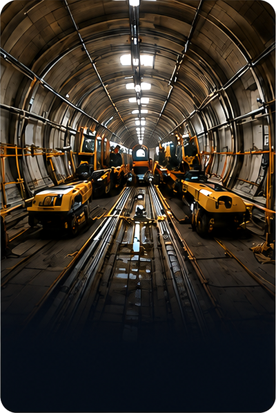
MRT & Rail Projects
Instrumentation and monitoring works for MRT lines and rail infrastructure.

Deep Excavation
Monitoring of deep basements and retaining structures in dense urban areas.
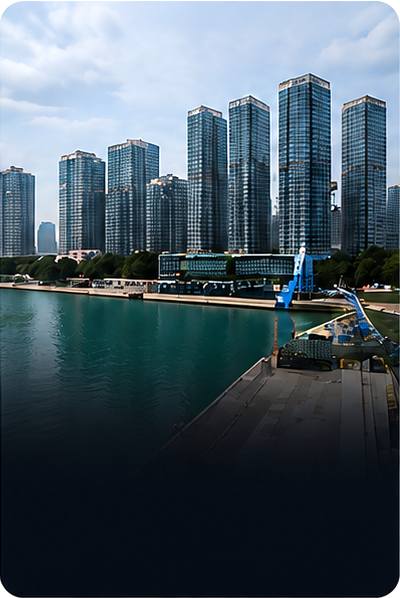
Building & Development
Monitoring solutions for high-rise, mixed-use and residential developments.
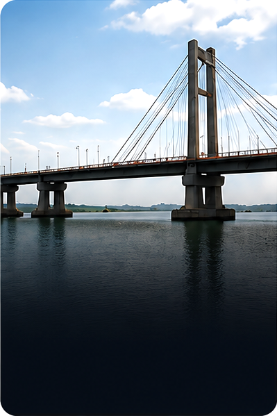
Bridges & Structures
Structural health and performance monitoring for bridges and infrastructure.
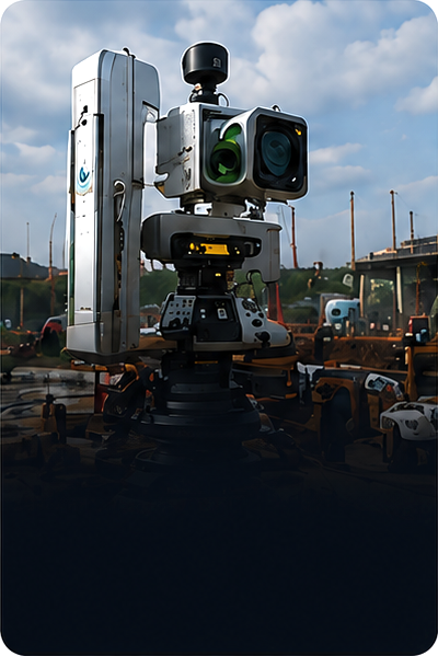
Industrial & Utilities
Instrumentation and Monitoring for utilities, tunnels, pipelines and industrial facilities.
Our Approach

Understand
We study your site and project requirements.

Monitor
We monitor, analyze and
provide actionable insights.

Design
We design the right
solution for your needs.

Partner
We partner with you to
ensure long-term success.

Deliver
We install and commission
with precision.

Support
We maintain and support
for the long term.
Our Core Services
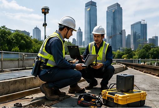
Instrumentation & Monitoring
Real-time data acquisition and monitoring for geotechnical and structural applications.
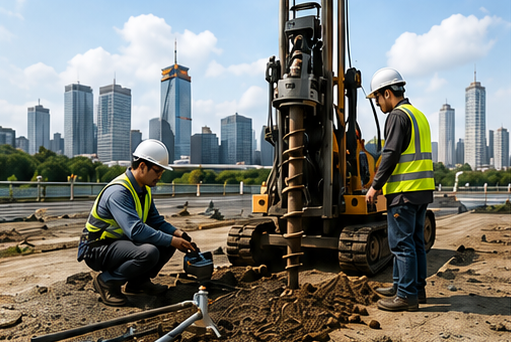
Soil Investigation
In-situ tests, sampling and laboratory analysis to evaluate subsurface conditions.
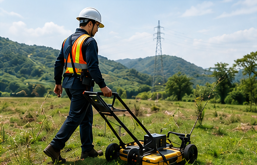
Geophysical Survey
Advanced geophysical methods to map subsurface conditions non-destructively.
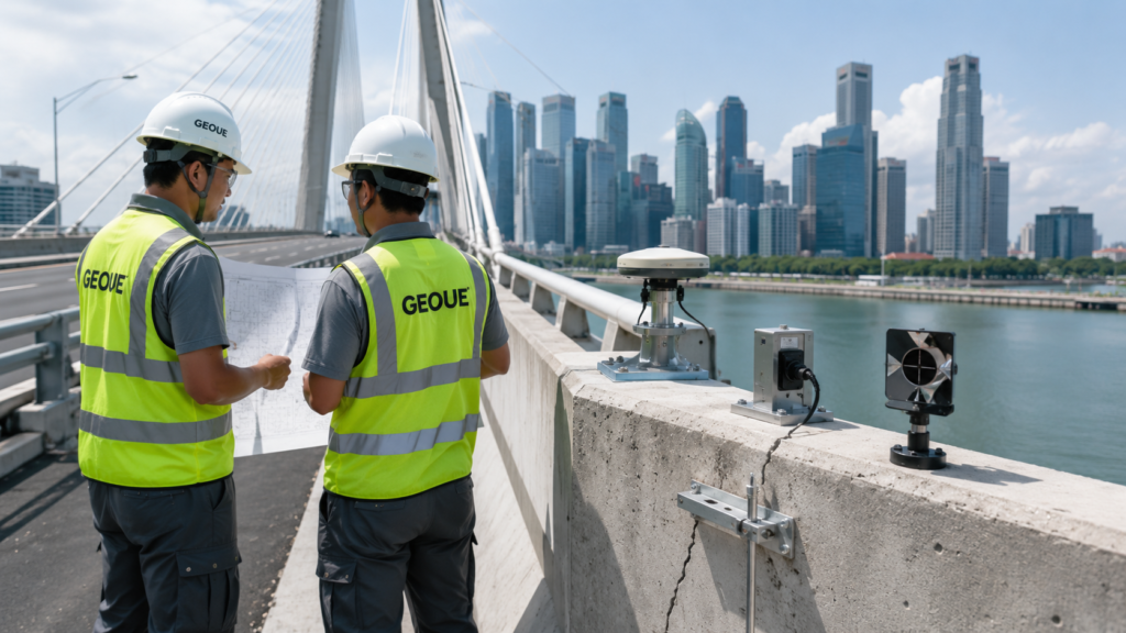
Geotechnical Consultancy
Design optimization and risk-based advice for safe and cost-effective solutions.

Monitoring Data Analysis
Trend Review
Alert Assessment
Interpretation
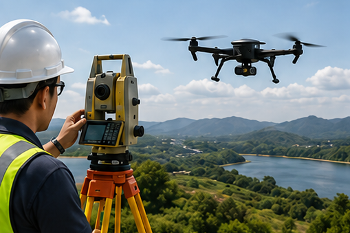
Technical Review
Third-party Review
QA/QC
Independent Assessment
Get In Touch
Let’s Work Together on Your Next Project
We deliver engineering solutions that make a difference.